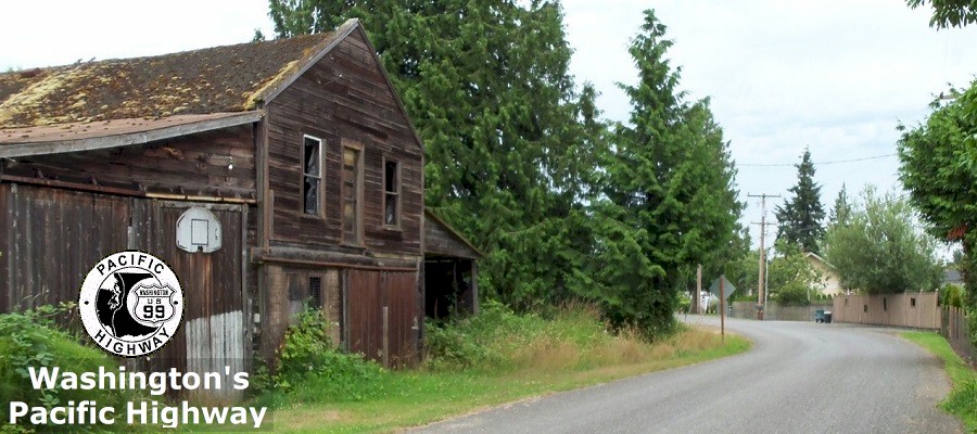
The
Pacific Highway
By Curt Cunningham
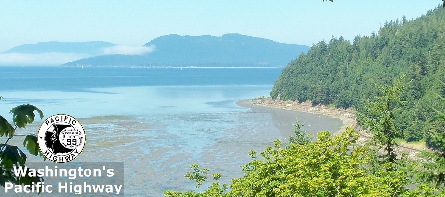
The Pacific Highway is
1,687 miles long and stretches from the Mexican border to the Canadian
border and in 1924, was the longest continuous stretch of paved road
in the world. Good roads advocate and
road-building pioneer Sam
Hill was perhaps the main
motivating force behind building of the highway as a
"National auto trail" along the West coast of the United
States.
The basic idea of a trunk line road
began in the late 1800's as a way to furnish a direct line of travel from the farming regions to the markets.
The farm to market road as they were once called, were built in a direct line
as much as possible to minimize the loss of time and money. The
old system of elbow-joints that forced the traveler to zigzag would be
avoided as much as possible. The trunk road was to accommodate travel whether by foot or by team, auto, bicycle or trolley. It was to be
passable at all times of the year and in all types of weather. The trunk road was to be a grand thoroughfare and was to be built not only for the present generation, but for those who are to come later.
On December 10, 1912, ex-Governor of Vermont G. H. Prouty, gave the
Portland Oregonian an interview.
Prouty was a leading National figure in the fight for better highways. "Trunkllne roads are the only solution of the good roads problem," commented Mr. Prouty, who
was one of
the many Eastern men intensely interested in the Pacific Highway project. "In order to get a comprehensive network
of roads, first you must build the trunk lines and later the laterals and feeders. The latter will come more
quickly than is supposed, after, of course, the main roads are built."
The state highway department first mentions
a north-south trunk highway through Washington in the First Biennial Report of the State
Highway Commissioner, printed on November 15, 1906;
"Much has been said and written regarding an improved
highway extending across the state from Blaine on the British line to a point on the Columbia river.
That such a highway should be built appears to be beyond dispute, but to this should be added a north
and south highway in Eastern Washington from the British line to the south boundary of Walla Walla county, and an east and west highway from Puget Sound to the Idaho line."
"With the proper preliminary engineering to determine the
best routes and probable cost of construction, the Legislature would be able to determine the feasibility and desirability of
this project. It is doubtful if the state could enter upon a project which would eventually be of greater profit to its people."
In 1910, the Third Biennial Report of the State Highway Commissioner
proposed 10 new state highways to be constructed. One of these proposals
was; "A north and south trunk road, beginning at the
city of Blaine in Whatcom county, thence southerly by the most feasible route through the principal cities of the Sound
to the city of Vancouver in Clark county. Survey parties are now in the field establishing the most feasible location of this road. I would respectfully suggest that
the route be established as described, with the possible exception of the section from Bellingham north. A survey is now
being made to determine the relative merits of the Blaine and Guide Meridian roads, and the data obtained will be presented
to the legislature at this session."
The story of the Pacific Highway is the story of a road and a motive;
On Monday September 18, 1910 a group of men from the three states bordering the Pacific ocean met
at the Arctic club in Seattle and formed an association with the object of promoting and establishing
a trunk highway, which should begin as far north as possible and extend as far south as possible on
the Pacific Slope. These men knew that in every state the history of the railroads began with the binding of
a great artery; that in due course came the construction of lateral and feeders,
and of more main lines with more branches and connections.
They believed that if a great north and south road could be selected and
improved, it would be made famous and become a popular route of travel. The moral effect
of such an achievement would be promptly seen, and that the people of the West would be aroused to the need
and be stimulated with the desire for more good roads. There was no better incentive to
hasten the building of better roads than to show the success of one good road.
The Association proceeded to select sections of roads, already built between
Tijuana and Vancouver BC. They tied them together, gave the developing highway a name and admirably marked it
with uniform signs of simple, strong design. The result was electrical! The interest and pride of the
states and provinces through which the road passes was immediately displayed.
It caught the fancy and favor of the press and commercial bodies. It appealed
to the imagination of the East and Middle West and the project was pictured and described in practically
every motor and tourist magazine, and in many of the farm periodicals.
The province of British Columbia, which had amazed the world with its
recent achievements in road building, was prompt to recognize and approve the project. It had
appropriated funds to extend the Pacific Highway from Vancouver BC northward
500 miles north to Hazelton, and it was proposed to carry the highway on over
the 80 intervening miles west to Alaska. In Washington, the signs were first placed,
and $10,000 was spent on surfacing sections of the road and preparing maps and other data.
The road had received much attention by state and county authorities.
Frank B. Riley of Portland, who followed the highway signs from
the Columbia river north through Washington and across the Canadian border
said this about the trip; "I found the road everywhere the object of much
concern, and found farmers working on the road in front of their lands individually
and independent of any state or county assistance."
At a convention held in Portland during August of 1911, it was decided to mark the Pacific Highway through Oregon
from the Columbia river ferry to the California border. M. C. Dickinson undertook to finance
and become responsible for the manufacturing and placing of the signs. The work was started September 9, 1911 and
finished on September 14th. The progress of the crew southward assumed the aspect of a presidential
tour.
At every county line they were met by delegations of city and county
officials along with many citizens who escorted the sign placing crew across their county. In the larger towns
public receptions and banquets were the order. When they were finished, 600 signs
marked the Pacific Highway across Oregon, allowing tourists to go from Vancouver BC to the California border without a guide
book.
California had authorized the expenditure of $15,000,000 on roads. Governor Johnson said that the
Pacific Highway from California to the Mexican border will receive immediate attention
and would be in first class condition by 1913. He finished by saying that; "We may look for a continuous procession of tourists passing up and down the great road and
diverging over its laterals and seeing the country as only it can be seen from the common road.
In 1912 the Fourth Biennial Report of the State Highway Commissioner made another recommendation for a north-south trunk
highway; "I recommend that certain state roads already established, be extended as indicated on the map of
state roads accompanying
this report. The most important addition to a proper system of state roads should be a north and south trunk road from
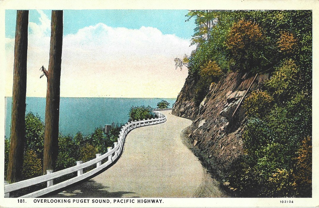
Blaine to Vancouver, to be known as the Pacific Highway, or State Road No. 6. Such a road traversing nine counties containing 48% of the wealth and population of the entire state,
passing through nine county seats and the state capital, would be for the general good."
"This road would follow county roads
already established, with a few exceptions. For about 2/3rds of the 350 miles from Blaine to Vancouver, the road may
be considered a fairly good road, but the other 1/3rd, about 120 miles, needs reconstruction. Every one of the nine counties
has done permanent work on this road. King County has expended no less than
$600,000 on the Pacific Highway, and
Pierce has expended and contracted for over $300,000 worth of construction, and the other counties have done proportionately well.
The steel bridges being erected across the Skagit and Lewis Rivers will eliminate the last ferry on this road.
I recommend that the Pacific Highway be given generous consideration."
In
1914, the Fifth Biennial Report of the State Highway Commissioner said this
about the new highway; "The Pacific Highway is the
North and South trunk road for Western
Washington. This highway, beginning as it does
at the international boundary at Blaine, Washington, passes
through the principal cities of Western Washington to the
Oregon line, traverses nine counties containing 48 per cent of
the wealth and population of the entire State and passes through
nine county seats and the State Capital."
"With few exceptions,
the route of the Pacific Highway follows county roads
already established, and may be considered a fairly good road
with the exception of about 90 miles, which is in need of reconstruction.
All of the nine counties are doing Permanent Highway
work on this road. From Blaine the
Pacific Highway connects with the main trunk roads of British Columbia, and
from Vancouver the highway extends on under the same name to Portland, and
thence south through the States of Oregon and California to the Mexican
boundary."
The Pacific Highway was
completed in 1924, and in 1927, it became US Highway 99.
On July 1, 1964, US Highway 99 started to be phased out, as the construction of Interstate 5
was nearing completion. In 1968, the freeway was finished and US Highway
99 was decommissioned.