![]()
The Historic Pacific Highway
in Washington
Salmon Creek Hill
![]()
The Historic Pacific Highway
in Washington
Salmon Creek Hill
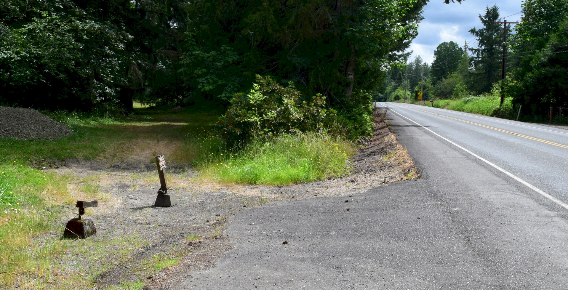
Looking northbound from the top of Salmon Creek hill. The Jackson Highway is on the right and the old Pacific Highway is the dirt road on the left. Photo taken in 2022.
History of Salmon Creek Hill
By Curt Cunningham
Salmon Creek
Salmon Creek in Lewis county begins its journey near Hatchet mountain, 17 miles east of Toledo and 6 miles south of Mossyrock. The creek empties into the Cowlitz river about a mile below Toledo and opposite the old Cowlitz Landing. Carnelian, agates, petrified wood and jasper are found in Salmon creek. Carnelian is the red, orange, or amber variety of Chalcedony. It is often a solid color, or it may be banded, making it both agate and carnelian. Carnelian has been used in jewelry since the ancient times and was used by the Minoans of Crete. Romans also used carnelian for their seal rings and was used to make cabochons, beads for necklaces, bracelets, and carved cameos.
Throughout the years the constant flooding of the Cowlitz river at Toledo had changed its course many times. The old channel of the Cowlitz ran in a due south direction from Toledo to a point on Salmon creek about 700 feet downstream from the Pacific Highway bridge. From here the old channel turned west for about a mile where it meets the current channel of the Cowlitz river. Salmon creek runs in the old channel west of the Pacific Highway bridge. The ancient foot trail leading up the east side of the Cowlitz river from Vancouver terminated where Salmon creek now empties into the Cowlitz river.
Ray Road follows along the east bank of the old channel as it passes the pond, and then it runs in the old channel until it turns east to connect to the Pacific Highway just north of the bridge. During the construction of the Toledo bridge approaches in 1919, the sand and gravel needed was obtained from a sand bar in the Cowlitz river just south of the bridge.
The South Lewis County Park Pond is where this sand bar was, and it is now a lake comprising an area of 14.1 acres, and home to several species of fish. The 43 acre South County Regional Park is located one-half mile south of Toledo. The park has a boat launch, fishing piers, beach area, and group picnic area. The pond is open year round for fishing.
Toledo is known as the gateway to Mount St. Helens and the first wagon road to the mountain was built in 1879 and washed away in 1883. On July 4, 1883, W. E. Colby started a ferry service across the Cowlitz river at Toledo. This service continued until the wooden bridge over the river was built in 1892. This bridge was north of the current bridge.
Salmon creek hill is located about 1.5 miles south of Toledo on the Pacific Highway and was on the south bank of the old Cowlitz river channel. The wagon road up this hill was first constructed in the 1890's and continued to the bend in the river at Olequa.
On August 8, 1908, R. L. Short made a run from Portland to Seattle in 15 hours with his 6-cylinder Pierce Arrow. The following is his description of the road south of Toledo; "In the entire trip we encountered only about 4 1/2 miles of difficult roads." said Mr. Short. "One of those places was just this side of Toledo and the other just this side of Kelso. In those places the roads are bad and almost impassable at times, but during the rest of the entire trip we found the roads to be in really first-class condition."
In 1914, from the Toledo bridge 1.75 miles south to Salmon creek hill, the wagon road was improved for the Pacific Highway. This improvement included a new bridge over Salmon creek including a fill that was needed for the approaches on both sides. John T. Peterson of St. Johns, Oregon was originally awarded the contract, but was not able to complete the work, so on July 15, 1914, the contract was assigned to George Shannon & Lauthers, of Portland, Oregon who completed the project.
The new company took over the work and by August 15, the approaches were completed. The bridge was finished on October 1, 1914. The work required blasting powder so the road crews could remove the cement gravel. The new road was then surfaced with gravel by force account with the balance of the appropriation funds.
In may of 1915 bids were opened for the construction of a new alignment for the Pacific Highway 6 miles south of Toledo. The contract was awarded to Andrew and Harrer of Portland, Oregon who completed the work on October 20, 1915. In March of 1916, bids were opened and a contract was awarded to Jarvis and Burkheimer of Seattle, Washington, for surfacing with gravel 7.7 miles of the Pacific Highway from Toledo south to the Toutle river. The contract called for the completion of the work on September 1, 1916; but on account of the extremely wet season, an extension of time was granted. The estimated cost of the work under the contract was $13,652.80. The work was 67% completed on September 30, 1916.
On April 3, 1922, work began on the .88 miles of fill at Salmon creek. This work was for the new cut that made a smoother curve and gentler grade going up the hill. The cut was originally 31 feet wide and the fill was 28 feet wide. The contract was awarded to C. W. Miley of Everett. After this work was completed in July, the old trestle was reconnected to the new approach on the north side of the creek. The work was performed by State day labor and completed on October 15, 1922. The old road was then used until the new bridge could be constructed in 1924.
On June 8, 1923, an application for Federal Aid was approved for the construction of a new bridge over Salmon creek. The bridge was a curved concrete girder bridge, with a roadway of 20 feet and was 216 feet long consisting of 2-60 foot spans and 2-48 foot spans. The bridge was completed on March 22, 1924 and was reconstructed in 1981.
Today this section of the Pacific Highway is known as the Jackson highway, named for John R. Jackson an early pioneer.
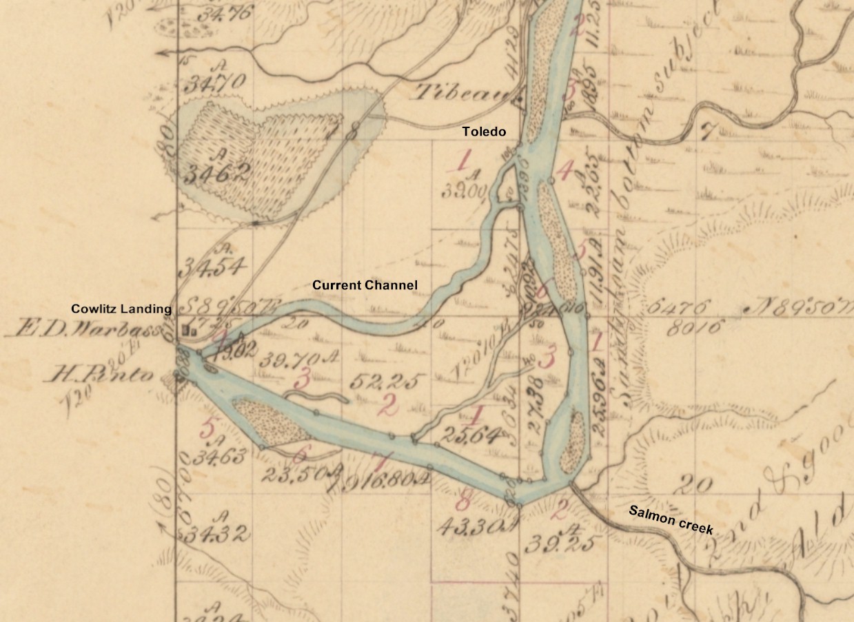
1853 Map
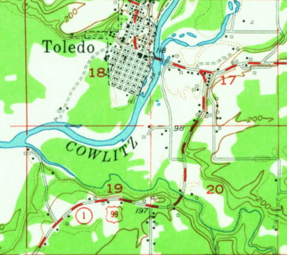
1953 Map
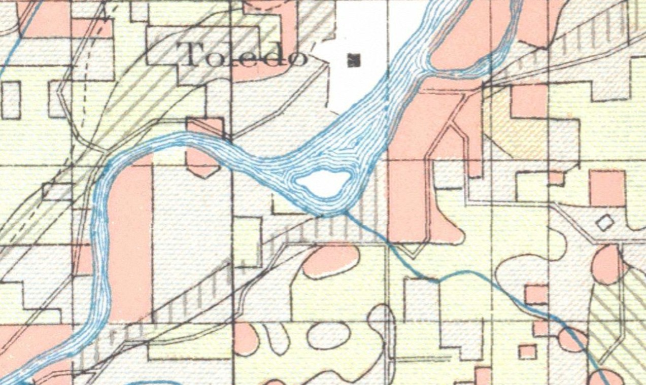
1910 map 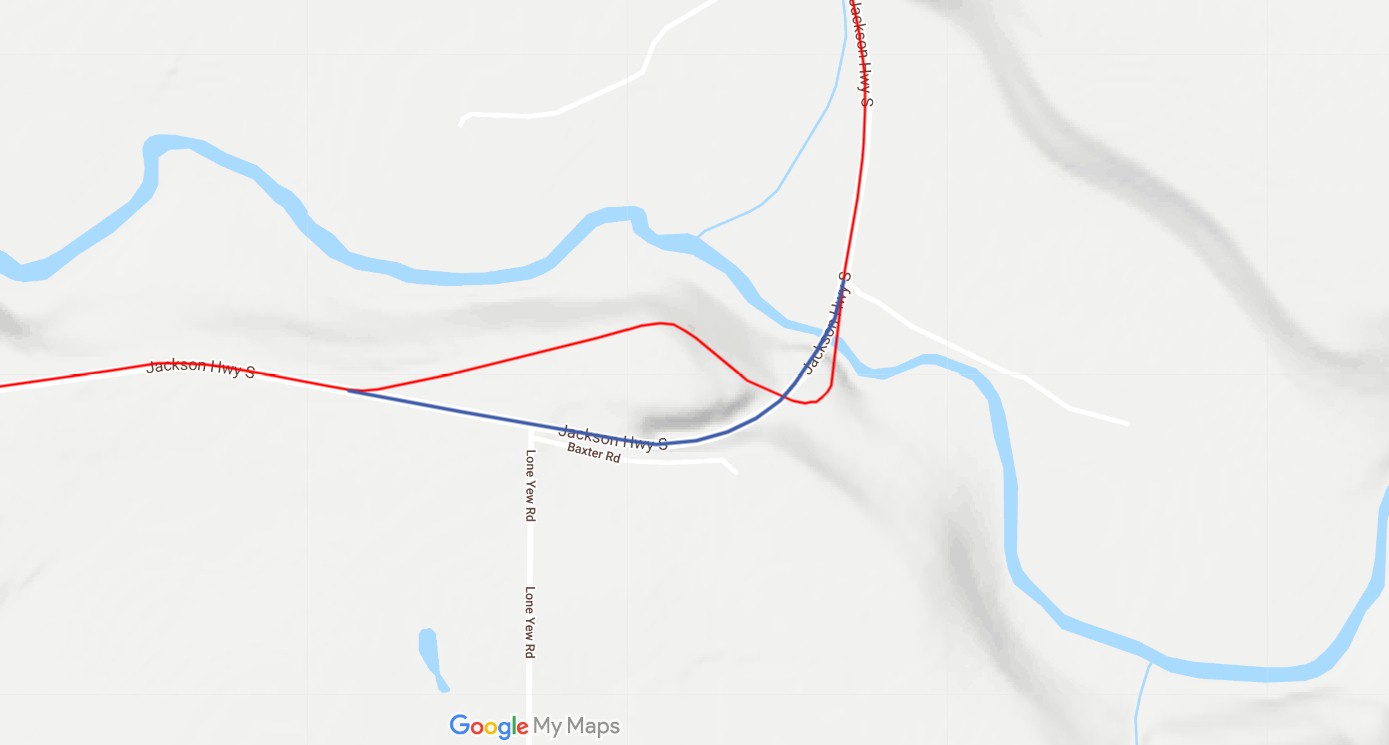
2020 map 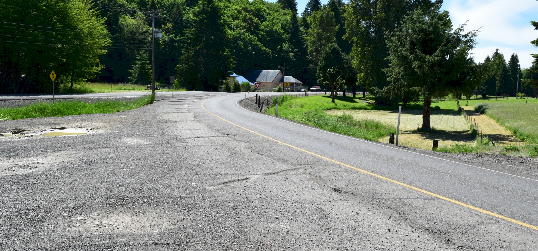
2020 Toledo Curve located at the eastern end of the Toledo bridge heading south toward Salmon Creek Hill. 
Looking southbound toward the new highway. It is so overgrown you can barely see the gate across the old road. |
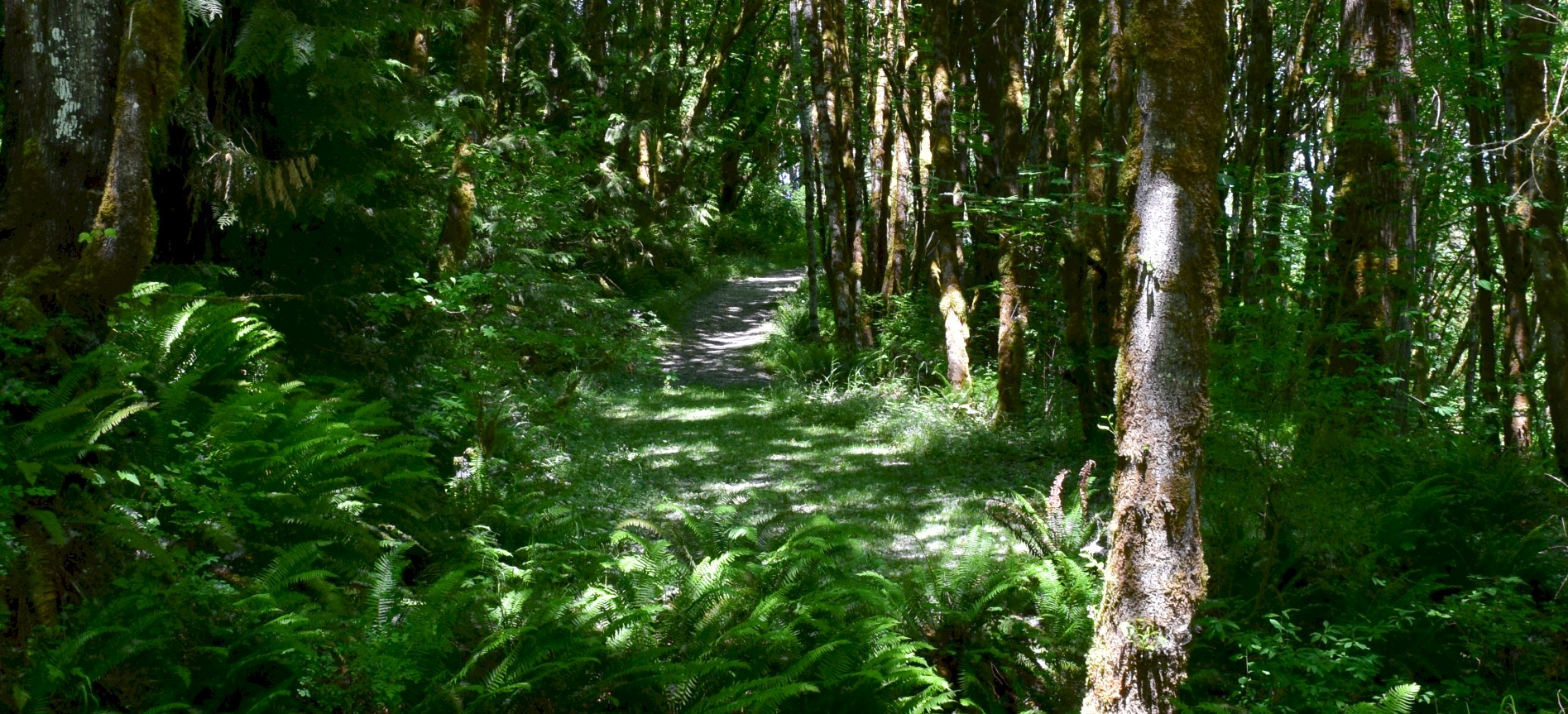
Looking southbound on the old road as it starts up the hill after crossing the highway. This is now private property. 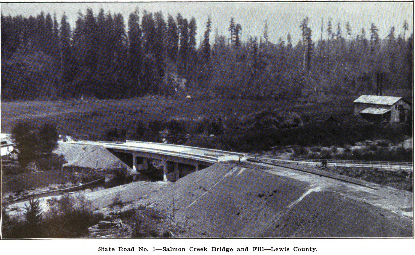
1924 completed Salmon Creek bridge. You can see the old road on the right of the photo. 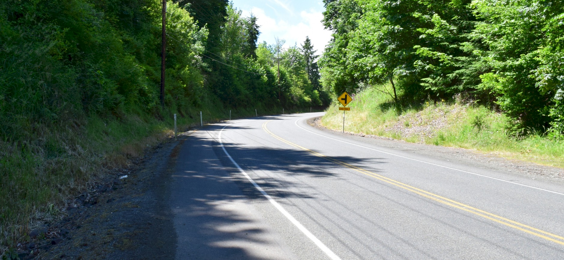
Looking south up the hill in the new cut. 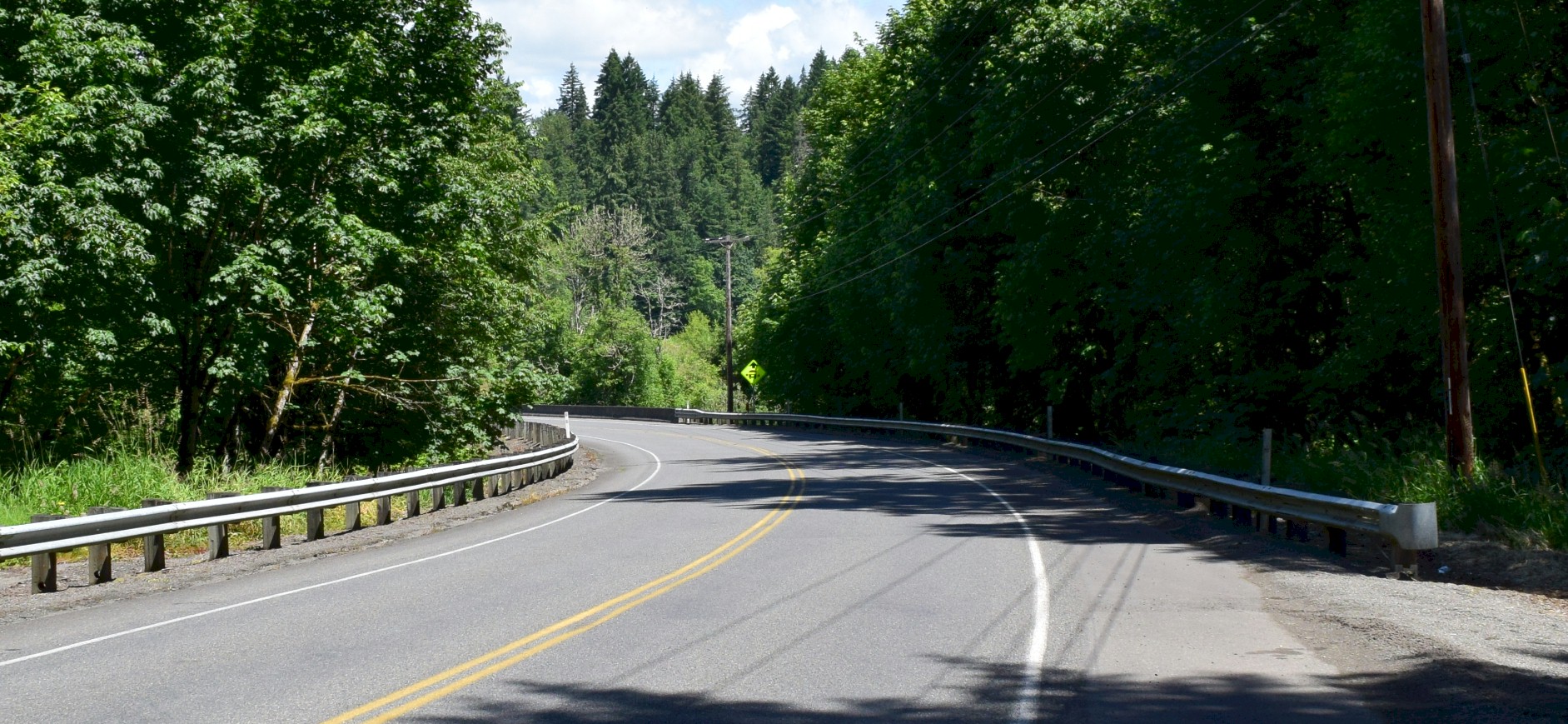
Looking downhill with the bridge in the center of the photo. This is where the old highway crosses the new highway. |