![]()
The Historic Pacific Highway
in Washington
History of the Burnt Bridge Creek Crossings
![]()
The Historic Pacific Highway
in Washington
History of the Burnt Bridge Creek Crossings
History of the Burnt Bridge
Creek Crossings
By Curt Cunningham
Burnt Bridge Creek
Burnt Bridge Creek is roughly 12 miles long and flows in a southwest direction toward Vancouver for about 7 miles where it bends and then flows in a northwest direction for about 5 miles through a small canyon and empties into Vancouver Lake. The canyon floor is covered in lush vegetation home to an abundance of waterfowl.
Going upstream from the mouth of the creek the hillsides begin to narrow after passing Arnold park (about 3 miles) and becomes forested. From Fourth Plain Blvd, the creek begins its rise out of the canyon. From 1917 to 1921, the Army Corps of Engineers straightened out the channel by digging ditches. This resulted in the water warming which killed off the natural vegetation forcing all the wildlife to leave the area. In the 1930's, the creek became polluted from all the sewage and runoff from being too close to a large populated city. In 1958, Clark County declared the creek a public health hazard. Since the 1990's the city of Vancouver has been working hard to restore the creek to its natural course and allow the wildlife to return.
Today the area is pristine and you can take a walk or ride your bicycle along the entire distance of the canyon on an 8 mile hard surfaced trail. The Burnt Bridge Greenway as it is called has 3 access points. The western access is at Stewart Glen next to the intersection of Fruit Valley Road and NW Bernie Drive. The center access is at Leverich Park just east of the freeway, and the eastern access is at Meadowbrook Marsh Park on 92nd Avenue.
The Creek of Many Names
When the Hudson's Bay Company began to build its farming areas out on the plains in the late 1830's, Mill Plain Road and Fourth Plain Road were the routes used to reach these farms. On the Fourth Plain Road at Burnt Bridge Creek, a bridge was needed, so the Hudson's Bay Company employees built a bridge. They needed this bridge to bring in the produce on the ox carts that were used during that period. This bridge built on the Fourth Plain Road was probably the first bridge built in Washington.
This bridge was important to the people, the Fourth Plain Road was originally the Klickitat Trail and continued north to the Yacolt and Chelatchie Prairies before crossing the Cascades south of Mt. Adams. This was the route between the northern prairies and the emporium at Fort Vancouver. Since everyone had to cross the bridge traveling back and forth, it is easy to see why they named the creek, "Bridge Creek."
It is said that the creek at one time was named Stenegier Creek or Stanger Creek after a retired Hudson's Bay Company employee named John Stanger. Stanger is the name that is chiseled into his tombstone. He had once lived near the creek.
On the 1857 Government survey map, the creek is named Marble's Creek. This is for Butler Marble who made a claim about a mile and a half upstream from its mouth. It is unknown exactly when the creek's name was changed from Marble's Creek to Burnt Bridge Creek. The latest item I could find that uses Marble Creek was on May 8, 1869 when this was said; "Prepare for the Clarke County May Festival and Picnic, to come off on the 16th inst, at A-L-K-I, on Marble Creek. The grounds are in a most beautiful condition. Don't fail to see your friends. Everybody should visit this spot."
The earliest I could find using the name Burnt Bridge Creek was on May 15, 1869 when August A. Schaeben placed an ad selling a splendid mill site on Burnt Bridge Creek, commonly known as the Alki Place. On August 9, 1875, this was said about the bridge; "The Burnt Bridge Creek Bridge. A numerously signed petition will be presented at the next term of the County Commissioners Court asking that the bridge over Burnt Bridge Creek be raised, that the traveling public may avoid a heavy sand hill which the present condition of the bridge renders it necessary to pass over. This hill has for some time been a serious drawback to Fourth Plain travel and should receive the earliest attention of the County authorities."
The bridge burnt down sometime between 1860 and 1865, and from the above article, it would appear that the replacement was built at the same height as the original one and the residents grew tired of climbing up and down the sandy hill, and wanted a new bridge with better approaches.
In 1897 the U.S. Board of Geographic Names made "Burnt Bridge Creek" the official name.
The Early Settlers of Burnt Bridge Creek
The first settler to live near the creek was John Stanger who lived east of Vancouver. His name has many different spellings such as; Stenegier, Steinger and Stenagair. On the Government survey map it shows his name as Stinger. The name Stanger is the one that is chiseled into his tombstone. John Stanger was born in Scotland and came to Fort Vancouver in 1836. Stanger worked for the Hudson's Bay Company as a carpenter and helped built the grist mill. After he retired around 1850, he settled on land east of the fort and just west of Ellsworth.
He married a local named Kiskista (Ellen) Thomas and they raised 9 children. In 1867, Stanger built his frame house and the building still stands today. The simple two-room gabled structure built of milled cedar planks is one of the oldest buildings in Clark County. The house can be seen at the Jane Weber Evergreen Arboretum at 9215 Evergreen Hwy.
In the spring of 1852, Butler Emery Marble and his second wife Matilda, along with Butler's son Ansil which he had with his first wife Mary Jenette Laws, crossed the Oregon Trail from Illinois and arrived at The Dalles in November of 1852. Here they loaded everything they brought with them into log rafts they built, and floated down the Columbia River to Portland arriving on November 16, 1852. Butler was a veteran of the War of 1812 and together with his son Ansil were professional millwrights and carpenters.
The Marbles lived at Portland until 1855 when they took the trail leading north from Fort Vancouver, Butler was the first to find a suitable spot for a mill, and took a claim at the Burnt Bridge Creek ford. His son Ansil and his wife Louvisa would continue a little farther north about a mile and a half and make a claim on 315 acres of land on the north side of the crossing of Cougar Canyon Creek. Ansil filed a claim for this property on August 1, 1865. Ansil and Louvisa would later make 2 other claims, one for 40 acres located where the trail crossed Salmon Creek just above the Salmon Creek Avenue bridge, and just south of the WSU campus filed in 1866, and another for 160 acres at the Pacific Highway bridge filed on July 20, 1871.
In 1857, Butler and Ansil built
their first sawmill on Burnt Bridge Creek. This is when the stream became
known as Marble's Creek. The following year, they built another sawmill on
Ansil's claim. In 1856, at 62 years
old, Butler, served as a private with Captain William Kelly’s “Clarke
County Rangers,” 2nd Regiment of the Washington Territory Volunteers.
Together with his wife Matilda, they raised 9 children. Butler lived for
another decade when he passed away in April of 1866. he is buried at the
Vancouver Barracks Post Cemetery.
Early settler William Reese Anderson was born near Marion, Virginia, on June
22, 1822. He was known to most people as "Reese", and had
apprenticeships in saddlery and cobbling during his younger years and had a
reputation as a “tracker” and was employed by the U. S. Army in 1848 as
a guide. In the spring of 1848, Reese, led a troop regiment with a wagon
train in tow, across the plains and arrived at Oregon City that November.
Here he met his future bride Sarah Jane Sturgess who had also crossed the plains in 1848 with her family on a different wagon train. The young couple fell in love and were married on February 27, 1851. The newlyweds then moved to Linnton, where Sarah had their first child that did not survive. They remained at Linnton for 2 more years when they moved again to Vancouver in 1853.
While they were at Vancouver, Sarah had said that there were only 3 American families living at the settlement near the Fort. Sarah also said that; “I talked so much with the Indians that I forgot a considerable portion of my own language, finally almost abandoning my native tongue for a time.” In 1853, after living in Vancouver for 2 years, the Anderson’s decided to take the trail leading north away from the fort into the wilderness.
After crossing Burnt Bridge Creek, the Anderson’s made their claim. Here they spent the remainder of their lives. The Anderson's filed for their claim on December 22, 1865. Reese was active in the school district and was a road builder among his other talents. Reese would pass from the earth on October 25, 1902 and Sarah would pass away on June 16, 1912.
The following are some other settlers who lived in the vicinity of the Government Road and Burnt Bridge Creek in the 1850's and 1860's, and the dates they filed for their claim; William D Barnes, December 20, 1867; Thomas Beatty, December 20. 1867; and Isaac E Bell and Louisa Bell, March 21, 1866.
The Early Settlement of Alki
In the late 1860's a settlement began to form at the crossing of Burnt Bridge Creek. This settlement would become known as Alki. The word Alki is from the Chinook Jargon which means; "the future," "by and by," or "more time to come." It is pronounced Al-kie. The word would mean any time in the future from "in the moment" to a "thousand years from now." The length of time in the future is indicated by using the word in a slow, drawling way to mean "in a little while" and further lengthening the indicated time by using a few other words from the lexicon.
Examples; "Alki nika chaco," which translates to; "By and By soon I will come." Or; "Tenas alki mika klatawa," meaning; "In a little while he will go." "Delate alki mika nanage," "In a long time you will see it." "Hiyu delate alki," "It will be a very long time." and; "Hi-i-i-yu dela-a-a-te a-a-a-a-lki," which translates to; "A very very long time in the future." over hundreds of years. "Wake alki" means; "Not long" and finally "Alki mika iskum," meaning, "By and By someday I will get it."
The settlement was located at the Burnt Bridge Creek crossing in the NW corner of section 15 of township 2 north, 1 east. Butler Marble's farm was next door on the west and south edges of Alki. The settlement is named on the 1888 Clark County map and on the southwest corner of section 15, SW of Alki, was a new development called the Garden Grove Homestead Lots, which had already been divided into parcels. On the 1894 Clark County map it shows Alki as now having been divided into small parcels called the Alki Homestead Lots. Thomas J. Wilson was living north of Alki and Butler Marble still owned property south of Alki. John and George Tooley were to the west and James W. Paul was on the east.
There is not much written about this early settlement, although there has been many excursions to the place by the citizens of Vancouver who came to spend the day having picnics and enjoying the outdoors.
On May 16, 1869, a picnic was held at Alki as was stated earlier in this article. On May 4, 1877, for May Day, the Garrison people of Fort Vancouver, organized a picnic and went to Burnt Bridge Creek where they enjoyed the day with their children. Their little people were a handsome and happy clan, and the number was sufficient to organize a good Sunday School. On June 4, 1878, The M. E. Sunday School picnic was held at the old Tooley place on Burnt Bridge Creek. Everyone had a jolly good time.
On August 22, 1878, Peter Rogers was riding his prized Cayuse pony to a picnic at Salmon Creek. As he was climbing the hill after crossing the Burnt Bridge Creek bridge, the pony fell into a sandpit. But for the presence of ladies, the swearing on that occasion might have equaled the performances of the army in Flanders.
The settlement must have been very small in the beginning as on August 9, 1875, a traveler to Ridgefield said this about the little village; "Two miles and a half north of Vancouver we pass Alki, where the lamented Schaeben once designed to found a suburb, the "bye and bye," of which, as the name indicates, is farther off to-day than it was six years ago."
As the area north of Vancouver continued to grow in population, districts were formed, as in all communities. Some of these districts were; the Flatwoods country, the Fourth Plain, the Lewis River country, and lesser known places such as the Reid-Buchanan District or the Eaton settlement to name a few. The area north of Vancouver from Burnt Bridge Creek northward has at one time been known as the Burnt Woods.
On August 8, 1866, a story was printed about the Burnt Woods; "There is a considerable extent of country between Vancouver and the Lewis River known as the Burnt Woods. We have been informed by citizens living in that vicinity, that an immense fire has been lately raging through these woods, and that all that is now needed to put thousands of acres of this land in a condition to plow, is the removal of the downed timber which the fire has left unconsumed."
"We are told that in many cases this would not cost much labor, and that even without the removal of any timber, a settler could find spots sufficiently large to sow and plant to advantage, and thus raise the first season sufficient to support a family. This we regard as a favorable opportunity for settlers, and would call the attention of those who want to take homesteads, or open new farms to it."
On April 27, 1877, Mr. M. Wintler placed an ad in the paper warning people not to haul away any sand from his property at Alki, without first asking him for permission. He wasn't messing around and said he would prosecute any trespassers. On May 11, 1877, Alki resident John Tooley, the son of Alki resident George Tooley, had 2 Cotswool lambs that were sheared which amounted to almost 25lbs of fleece.
Gold Discovery on Burnt Bridge Creek
On May 15, 1879, a prominent attorney form Portland who was part owner of a placer mine on Burnt Bridge Creek about 2.5 miles from Vancouver discovered gold. After 6 days of shoveling gravel into sluices, the 2 prospectors panned out $25 worth of flour gold from an area of about 100 acres. Gold was also found on Salmon Creek. The problem was that the gold they found was very fine, though of good quality, it just wasn't profitable for the prospectors to keep on digging.
Ice and Water
As the town of Vancouver continued to grow and was transforming into a large city, it naturally needed a water source for its residents. In the 1870's the Vancouver Water Company was formed and it drew the city's water from Burnt Bridge Creek. It remained the city's main water source for many years. Eventually the springs above Vancouver Barracks would replace it.
Ice for the "olden day refrigerators" of the residents of Vancouver during the 1800's was harvested from Burnt Bridge Creek. On January 9, 1879, Louis Meyer was stacking ice in Anton Young's ice house at Vancouver while J. O. Smith and Doc. Brown were gathering a crop from the mill pond on Burnt Bridge Creek. On June 14, 1883, ice dealers Brown & Branden were making daily trips in their ice wagon supplying residents with ice gathered from the pond at Burnt Bridge Creek.
Danger at the Creek
On April 4 1879, a party of Government employees were taking sand from a pit at Burnt Bridge Creek when the bank caved in. An unnamed soldier, a private of Co, G, 21st Infantry, was in the pit when the collapse occurred and he came very close to being buried alive. He only suffered some bruises and his face was badly scraped.
On August 24, 1880, one of the recently arrived emigrant families from Missouri had been staying at Thomas J. Wilson's place at the top of Burnt Bridge Creek hill. That afternoon 2 of the children were swinging in a shed when the pole that the ropes were tied to fell and struck a girl 12 years old across the head which crushed her skull. Dr, Randolph Smith was quickly sent for, but he could not help the poor little girl. She died 2 hours after the accident.
The Burnt Bridge Creek Bridge on the Government Road
The first bridge over Burnt Bridge Creek as we discussed earlier, was on the Fourth Plain Road leading away from Fort Vancouver to the Hudson's Bay Company farms as it continued further on to Chelatchie. This bridge had burned in the 1860's and was quickly replaced. In 1880, the span was referred to as the "Creek Bridge on the 4th Plain Road." Before the Military Road was built to Ridgefield, the Fourth Plain Road was the main overland route to the northern reaches of Clark County.
The Military Road, between Fort Vancouver and Ridgefield has been known as the Government Road, Lewis River Road and the Ridgefield Road. In 1869, the U. S. Army wanted a better road to Fort Steilacoom from Fort Vancouver. The current road ran along the Columbia River's north bank to Ridgefield. This road was through a swampy soggy bottom that was infested with mosquitoes and was muddy for most of the year making travel difficult. The Army constructed a new road from Fort Vancouver to Ridgefield that would bypass the mud road. The route they chose was north on the trail leading to Marble's mill at Salmon Creek. This road between Vancouver and Salmon Creek will become the Pacific Highway.
There were 3 difficult water crossings between Fort Vancouver and Ridgefield. These were at; Burnt Bridge Creek, Salmon Creek, and Whipple Creek. At first these creeks were forded. The first bridge built on the road was at Whipple Creek in 1877 built by Horace D. Tenney, who also built the bridge at Salmon Creek in 1878. In the summer of 1878, the first bridge over Burnt Bridge Creek was constructed on the Government Road. This bridge was built by Lem. Robinson, John Ginder and C. A. Ross.
The Burnt Bridge Creek Lumber Mills
The first sawmill on Burnt Bridge Creek was built in 1856 by Butler Marble and his son Ansil. The mill was located at the ford.
The Palmer mill was established on January 4, 1883, when S. W. Brown sold his mill to L. C. Palmer. The sale included the land occupied by the mill, also the barn and house. The stock of logs in the yard were also purchased. The mill continued to operate during the transaction. Q. A. Palmer, S. W. Palmer's brother, built a tramway to the mill from Burnt Bridge Creek that was one and a half miles long giving them access to the large body of timber that was available.
On February 1, 1883, Zeek was busy building his new mill on Burnt Bridge Creek. The mill was ready for business on April 12, 1883. On August 9, 1883, T. W. Hauschield from Iowa bought an interest in Zeek's mill.
The Fruit Valley Road
The Fruit Valley Road was used as a detour route during the Pacific Highway paving operations between Vancouver and Salmon Creek. This road was named for the fruit growing district through which the road runs through. On November 20, 1903, the Clark County Commissioners passed a resolution ordering a survey for a change to be made in the Fruit Valley Road. The changes were ordered to avoid the dangerous railroad crossing known as "Death Valley," where cars would crash into the trains as they couldn't see them coming. The new road was routed through C. H. Ricker's fruit ranch along with a new bridge over Burnt Bridge Creek.
The commissioners also wanted 2 other roads across Burnt Bridge Creek. This was ordered due to the fact that most of the lots and houses built have been established according to the old roads, these older roads were not vacated. The new roads, however were for the purpose of avoiding the dangerous crossings that existed in that vicinity.
On July 4, 1904, bidding was opened for a bridge across Burnt Bridge Creek, near Vancouver Lake, to eliminate what had been known since the construction of the railroad at that point as Death Valley. The bridge to be erected was 672 feet long and 40 feet high, and in order to avoid the dangers of railroad crossing it was an overhead crossing, so that collisions with trains would not be possible anymore.
On July 7, 1904, J. B. Tillotson of Portland was awarded the contract to build the bridge over Burnt Bridge Creek on the Fruit Valley Road. The bid was $1,942 and eliminated 3 dangerous crossings. Today this road is called NW Lakeshore Avenue.
The Pacific Highway Through Burnt Bridge Creek
By 1915, the Pacific Highway had been paved with concrete from Vancouver to Salmon Creek. Though it was a good road for the settlers, soldiers, farmers, and the early auto; it was too narrow and winding for future vehicles. There would not be any major changes to the highway though this section until 1925, when the entire route between Burnt Bridge Creek and Salmon Creek was bypassed by the new "Salmon Creek Cutoff."
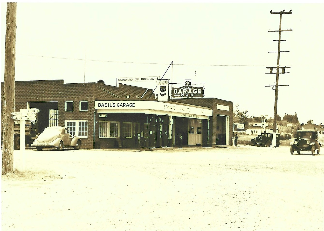
Basil's Garage was at the intersection of 78th and Hazel Dell Avenue in Hazel Dell. This photo was taken in the 1930's. The building is long gone and has been replaced by the Shell station located on the southeast corner.
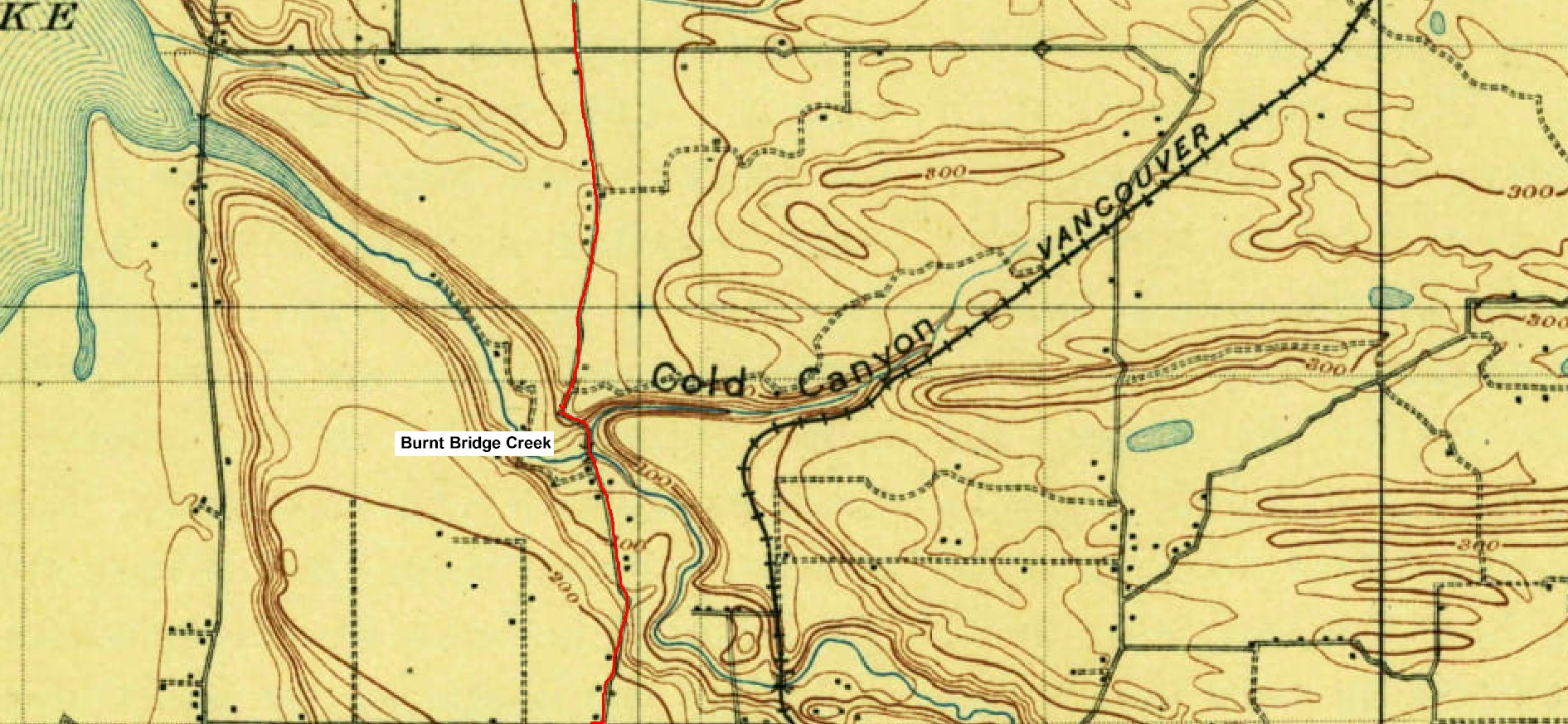
1897 map of Burnt Bridge Creek 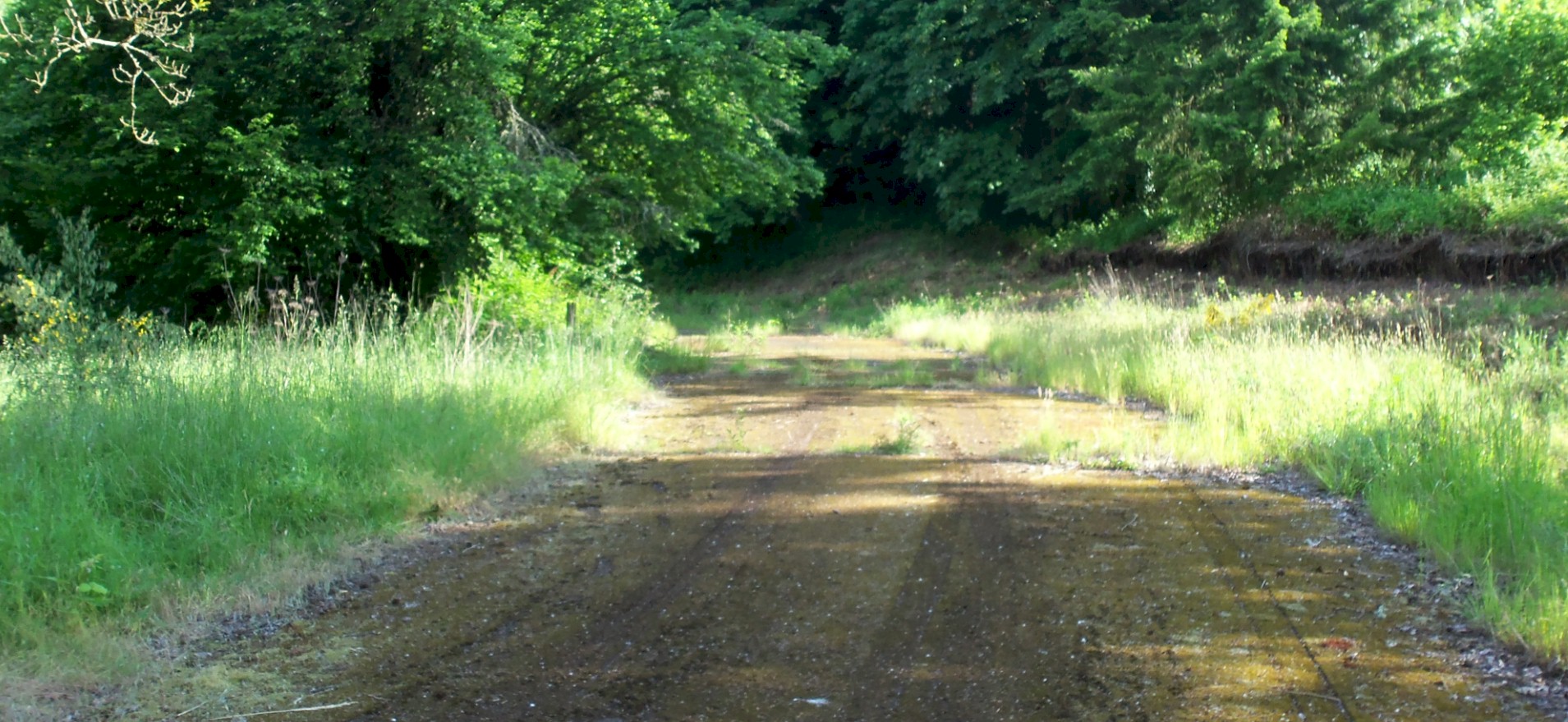
2011 looking north. 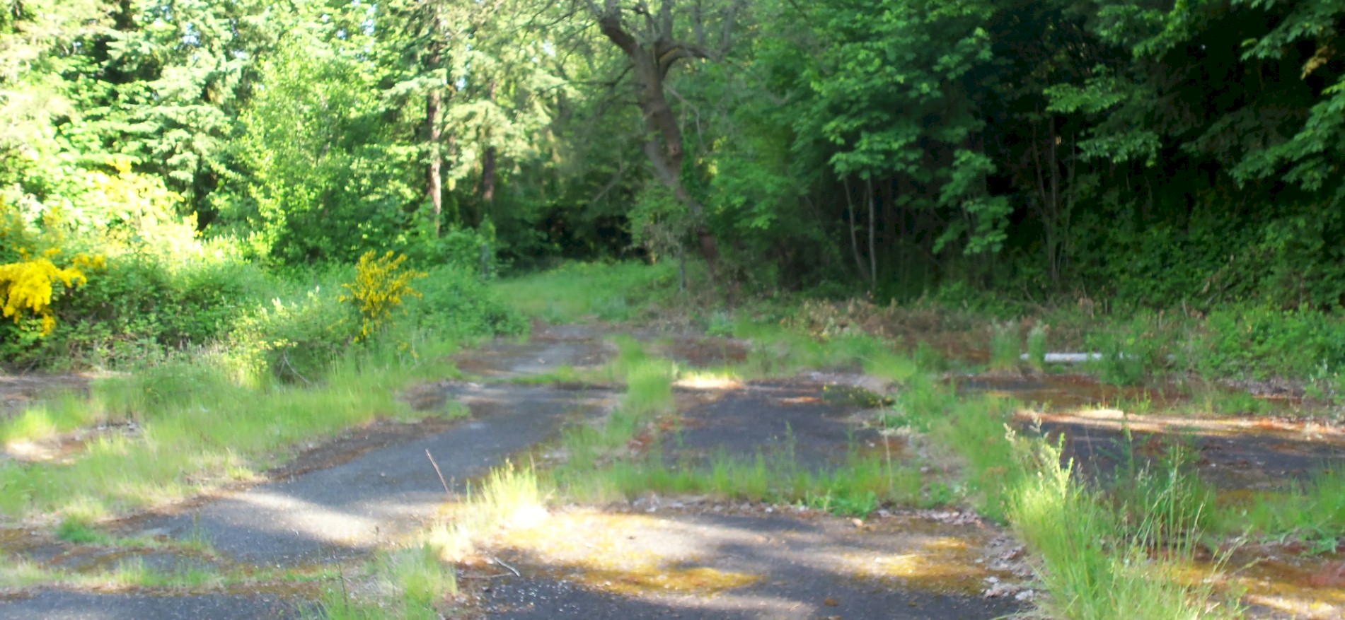
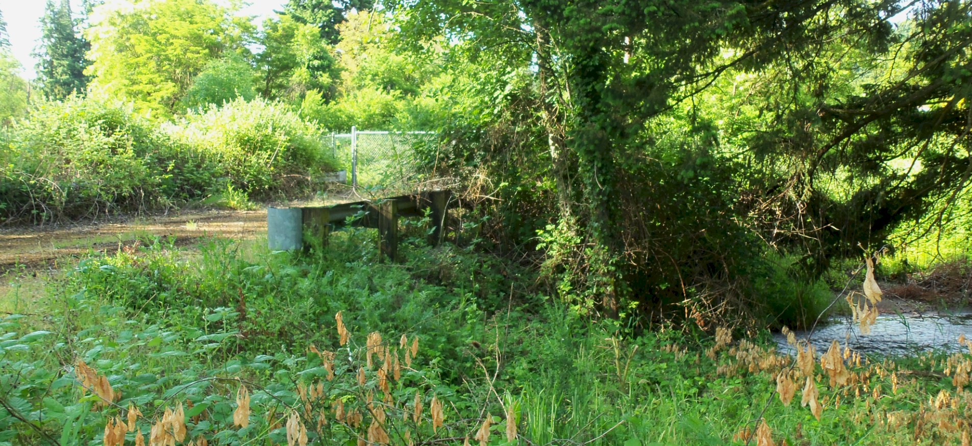
2011 looking north. 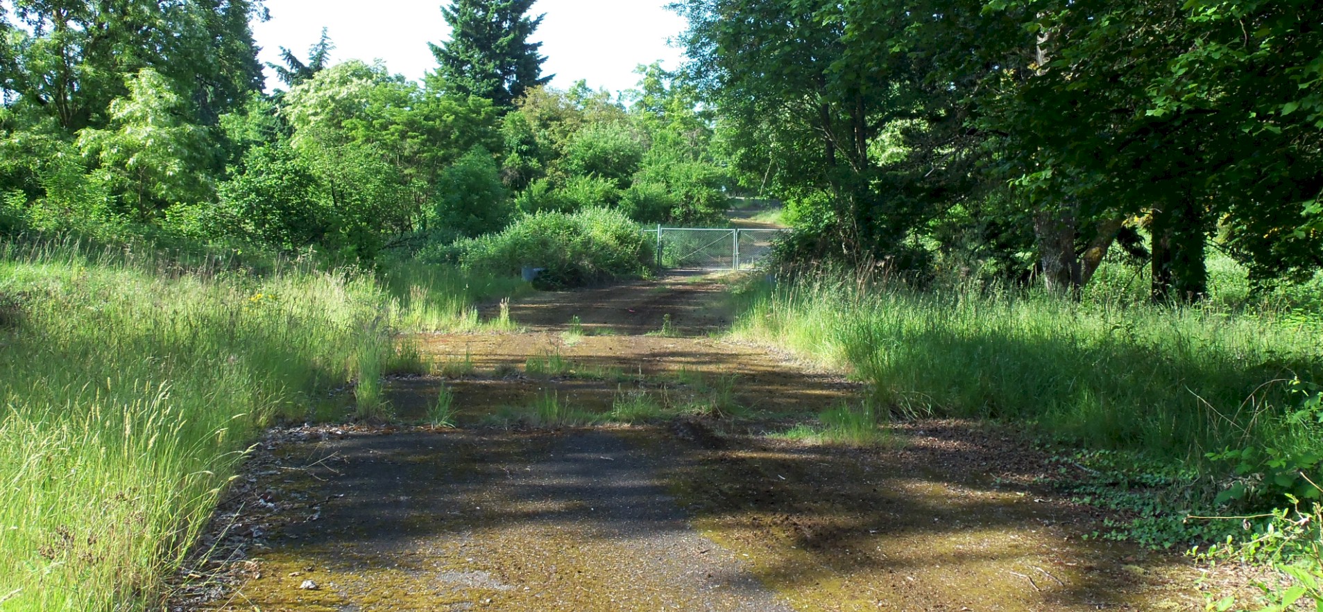
2011 looking north. |
2011 looking north. 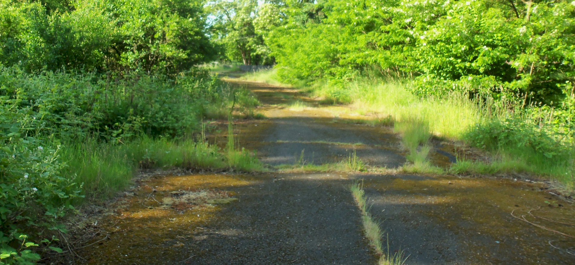
2011 looking north. 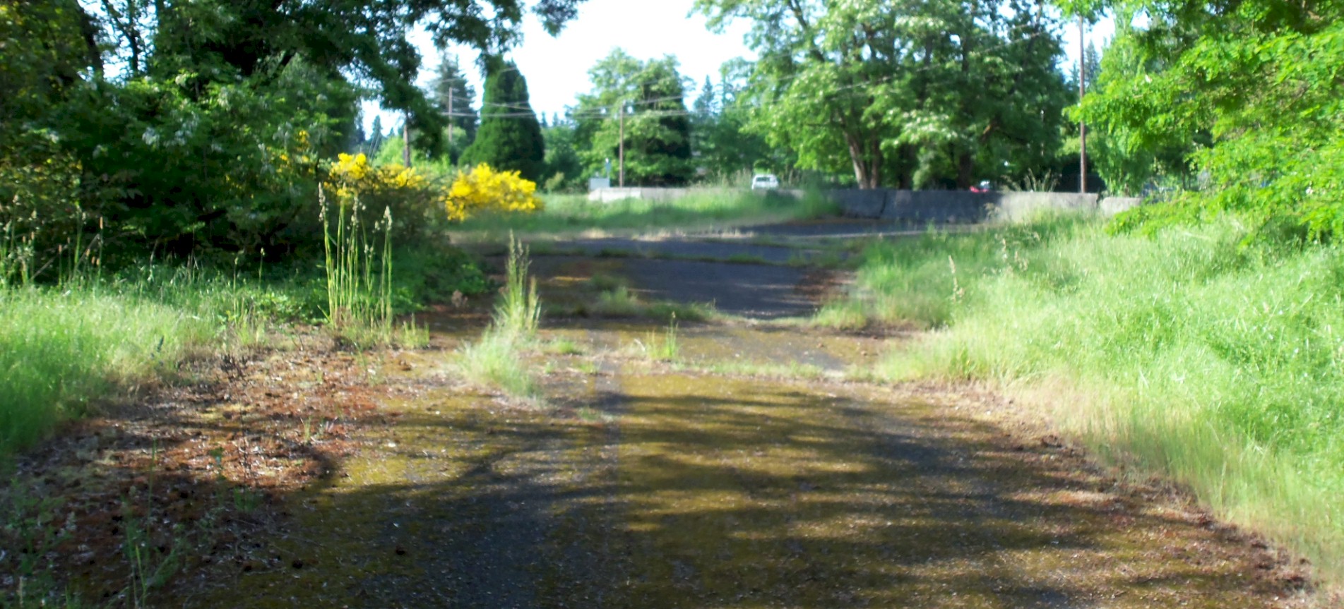
2011 looking south. 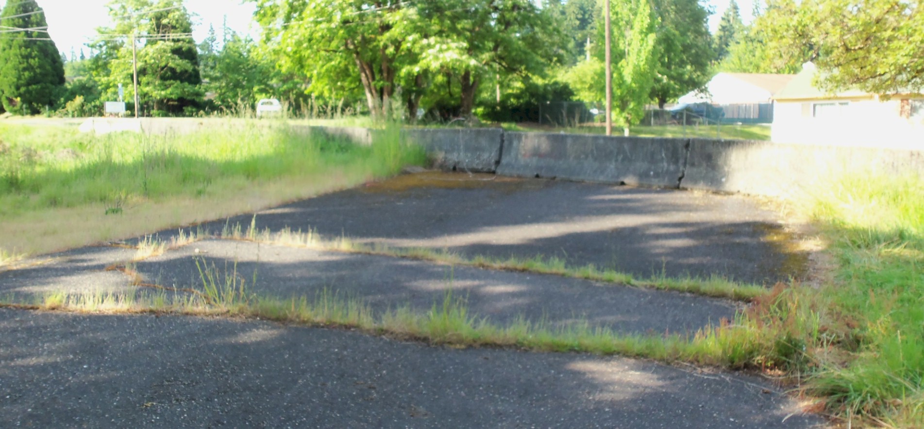
2011 looking south. |
©2011-2022 pacific-hwy.net
All Rights Reserved